


The state-of-the-art Nakuru County Land Information Management System (NLIMS) will be operationalised soon to assist in the efficient management of its land records.
Chief Officer of Lands and Physical Planning Ms. Stella Mwaura said the devolved unit and Digireg Consultants, who provided technical support in designing the digital platform, were now reviewing user needs and identifying potential gaps before the system is commissioned.
Ms. Mwaura noted that the digital platform would enhance service delivery, reduce land disputes and support effective governance in the county.
She said the platform would be accessible via web, mobile, and desktop applications, making land management processes more streamlined and user-friendly.
“LIMS is an integrated and comprehensive system designed to efficiently manage and provide information on urban land use by combining both spatial and non-spatial land data. Its goal is to bridge the gap between the county’s rapidly growing population and the increasing demand for efficient land use and planning,” stated the chief officer.
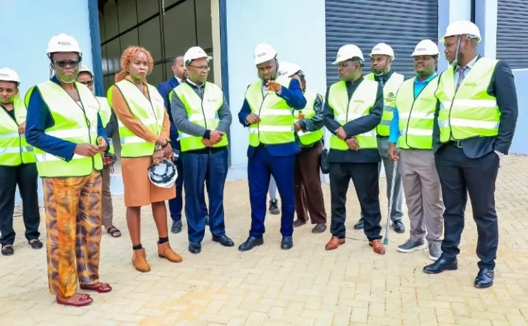
Speaking when representatives of Digireg Consultants presented their reports and findings on the latest review of the platform, Ms. Mwaura emphasized that the initiative marks a significant milestone in enhancing land administration through accurate record-keeping and fostering transparency in the county’s land management systems.
“The software aims to enhance effective management of land, streamline revenue collection, minimise revenue leakages and ensure efficient management of land records,” she noted.
Ms. Mwaura highlighted that the initiative aligns with Governor Susan Kihika’s commitment to achieving a well-planned county and promoting sustainable development in line with the UN Sustainable Development Goals (SDGs) and Kenya’s Vision 2030.
She further emphasized that LIMS is designed to be citizen-friendly, enabling residents to search for land ownership records, verify titles, and transfer ownership.
It will also allow them to pay land rates, upload receipts, download rent clearance certificates, and register charges on properties, therefore reducing bottlenecks and bureaucracy.
The devolved unit teamed up with Financial Sector Deepening Kenya (FSD Kenya) in setting up the new digitised system of land transactions to avert cases of fraud and forgery in the sector.
While describing the system as less vulnerable to corruption and human interference as it enables file tracking, Ms. Mwaura said that once the Land Information Management System (LIMS) is activated, all the land deals across the devolved unit would be conducted on an online platform from anywhere via a website or a mobile App portal.
She indicated that the LIMS system is being designed to support Nakuru’s ambition of becoming a well-planned centre, promote sustainable development and upgrade living standards for its citizens.
“We have consulted and worked with all stakeholders, including Planners, Surveyors, ICT experts and Digireg-Kenya consultants and deliberated on a clear scope to ensure the system will be tailored to fit Nakuru’s unique urban Land Management needs,” stated the official.
“The system will centralise land information, offering a detailed database that will track land ownership, land use and land zoning. This data will be pivotal in informed decision-making on infrastructure, Housing and Public services,” added the Chief Officer.
She assured residents that LIMs were being crafted to be a reliable data source that will aid in urban planning and resource allocation with the aim of revitalising some of the dilapidated urban centres across the 11 sub-counties.
A Land Information Management System (LIMS) is a structure that manages land-related data and processes. It’s used by government agencies, land management organisations, and urban planners to make decisions about land use and development.
LIMS combines spatial data (geographic information) with non-spatial information (attribute data) to create a database.
It uses a uniform spatial referencing system to link data within the system with other land-related data. LIMS includes procedures for collecting, updating, processing, and distributing data.
Ms. Mwaura indicated that Kenya Vision 2030 recognises proper land administration and management as a springboard for development. The vision outlines the establishment of LIMS as one of the remedies for land administration and management.
The Chief Officer stated that with digitisation, one officer could initiate a transaction and follow it through to the end in the system.
“It will save citizens’ time and taxpayers’ money in terms of salaries paid to officers and the purchasing of paper-based cumbersome equipment such as parcel files used to store documents in the registry,” stated the official.
The Chief Officer stated that LIMS would allow users to search for land ownership records, verify titles, and transfer ownership.
It would also enable users to pay land rates, upload receipts, download rent clearance certificates and register charges on property.
By Anne Mwale