


Nairobi’s six-borough administrative system has emerged as a key coordination tool in the County Government’s multi-agency response to the expected El Niño rains.
The teams will rapidly identify flood-prone areas and coordinate interventions across the city’s 85 wards.
At the centre of the county’s preparedness strategy is the six-borough administrative model, which groups Nairobi’s 17 sub-counties and 85 wards into six manageable geographical zones.
Governor Sakaja Johnson says the arrangement has significantly simplified coordination, particularly during a citywide emergency requiring multiple departments and agencies to work simultaneously across different locations.
“To make the work easy, we are working under the boroughs system. Rather than deal with 85 wards in Nairobi, or 17 sub-counties, Nairobi has been divided into six boroughs, each headed by a borough manager,” Sakaja said.
The governor said the system has created a direct chain of command through which information from across the city can be consolidated and acted upon quickly.
“All the six cover the 17 sub-counties and the whole 85 wards. It has been very easy to coordinate because we only call the six borough managers, and they give us a whole report of what is happening all over Nairobi. Hence, we coordinate the works much easier,” he said.
The Central Borough covers Starehe, Kamukunji and Mathare; Western Borough covers Westlands, Dagoretti North and Dagoretti South; while the Northern Borough brings together Kasarani, Roysambu and Ruaraka.

The borough structure has enabled the county to coordinate the work of different teams on the ground, including county departments, national government agencies, disaster response teams and other partners.
The approach is particularly important for El Niño preparedness because flooding does not follow administrative boundaries. A blocked waterway in one ward can affect roads, neighbourhoods and infrastructure several kilometres away.
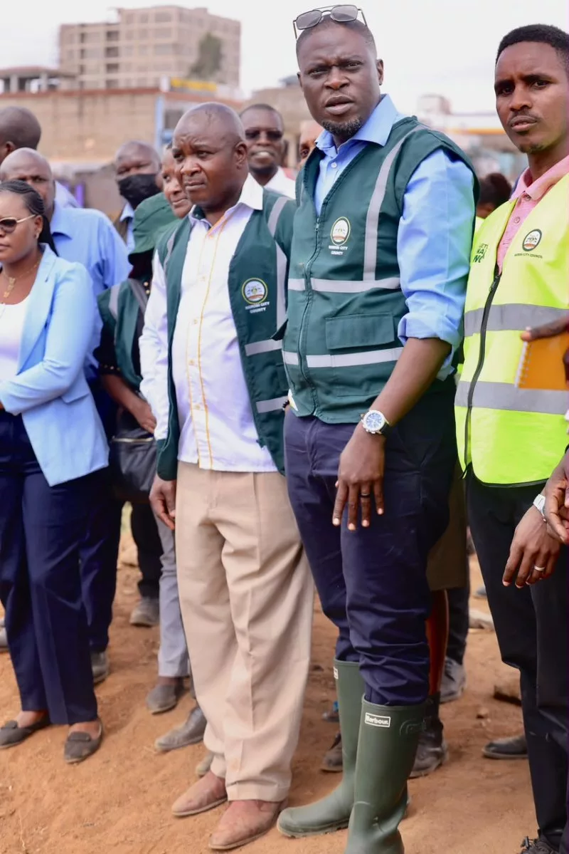
“We have done a lot of work in Lang’ata Constituency. The Ngong River that goes through South C has been well dredged and deepened to reduce the impact that has always been experienced. We have also removed walls that were affecting the flow of water,” Sakaja said.
On Tuesday, the governor inspected ongoing mitigation works in several parts of the city, including the CBD and Country Bus, Kayole Slaughterhouse, Kangundo Road and Matopeni Spring Valley in Embakasi Central, as well as Garden Estate Road, Oak Place in Ridgeways and parts of Roysambu.
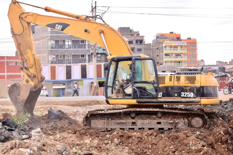
The interventions include desilting and opening waterways, clearing drainage corridors, widening channels and improving culverts to enhance the movement of stormwater.
Sakaja said the multi-agency teams had made significant progress with only days remaining before the expected onset of the rains, including opening up waterways that had become impassable and improving drainage infrastructure along major roads.
With the rains expected to begin within days, the focus has now shifted to completing outstanding works while maintaining teams on the ground to respond to emerging risks.
The six-borough system, Sakaja said, has provided the county with a simpler command and reporting structure, enabling the Governor and senior teams to receive a consolidated picture of what is happening across Nairobi and deploy resources where they are most needed.
The strategy effectively turns Nairobi’s 85 wards into six operational zones, making it easier to coordinate a citywide response while retaining teams on the ground at ward and sub-county level.